Open Map
Multi format open standard maps on Mac

Open Map brings on the Mac many maps of the open standard map world.
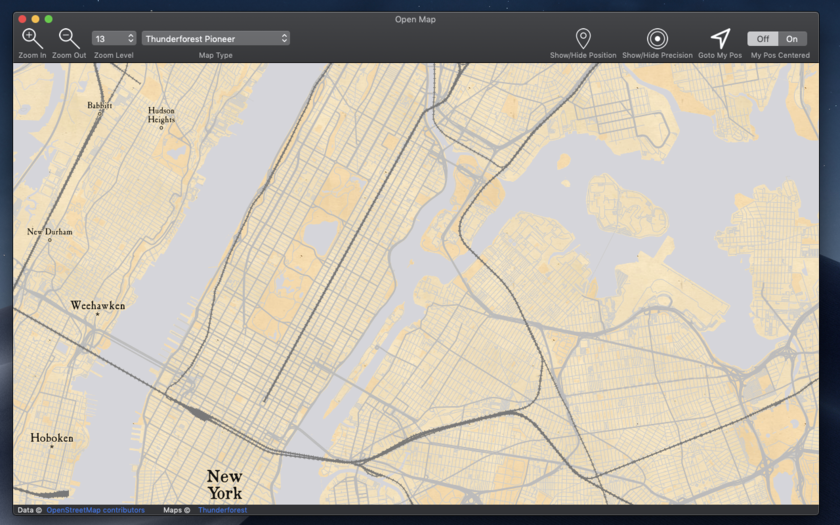
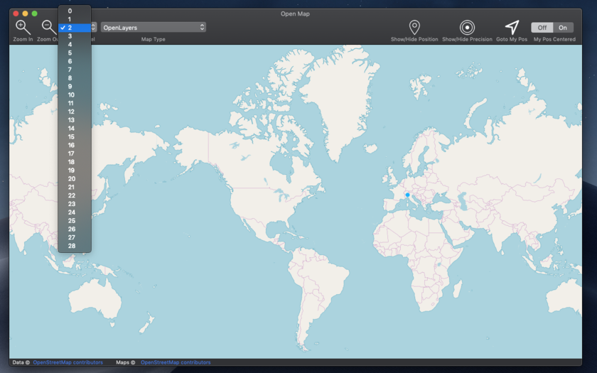
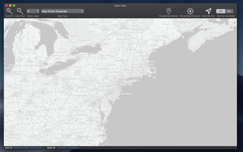
Open Map covers all the world exactly as other well know proprietary formats but with more then 60 map types with different style, graphic and also data, always up to date, available with 1 click with a resolution level ranging from 0 to 28.
A must have for anyone working with maps, from designers to developers, to evaluate map types or to produce PDF map images of various area or other purposes.
Open Map screenshots - click image to zoom ![]() |
||||
![]() |
![]() |
![]() |
![]() |
![]() |
FEATURES
- Open standard map world inside a Cocoa native Mac application
- Scroll, move, zoom in and out to any level you like of any point of the globe
- Custom zoom level also from menu
- Switch map time at any time at any zoom.
- Export as PDF, PNG, TIFF, JPEG any visualized map at selected position and zoom level
- Visualize your position and precision range via geo wi-fi
- Position update over the map if you are moving
![]() |
Shows your position using geo location |
![]() |
Shows position precision circle around you calculated with geo-location | |
![]() |
Goto your position at any time in a click |
![]() |
Map of the entire world, fast and reliable | |
![]() |
28 levels of zoom |
![]() |
Over 60 map type | |
![]() |
Save on disk any map shot, any portion, any zone, any level of details to PDF, PNG, TIFF, JPEG | ![]() |
Native Intel 64 bit to take full advantage of the power of the latest Macs | |
![]() |
We develop for Mac from a long time. We use only Apple native technology to create macOS apps because we love the Mac and and we love pure true macOS apps | ![]() |
Sandboxed and Gatekeeper signed respecting all the Apple rules for first class macOS apps | |
![]() |
Includes a full User Guide in PDF accessible under the Help Menu inside the application. | ![]() |
Using the new Universal Binaries format running as 64 bit in full native mode both on Intel Mac and on the new Apple Silicon Mac | |
![]() |
Optimized for macOS 12 and in Universal Format native for Intel and Apple Silicon |
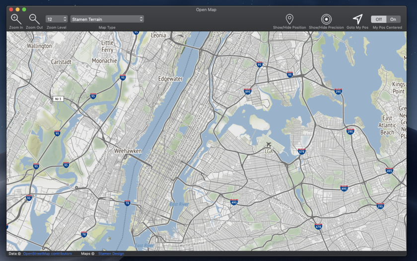
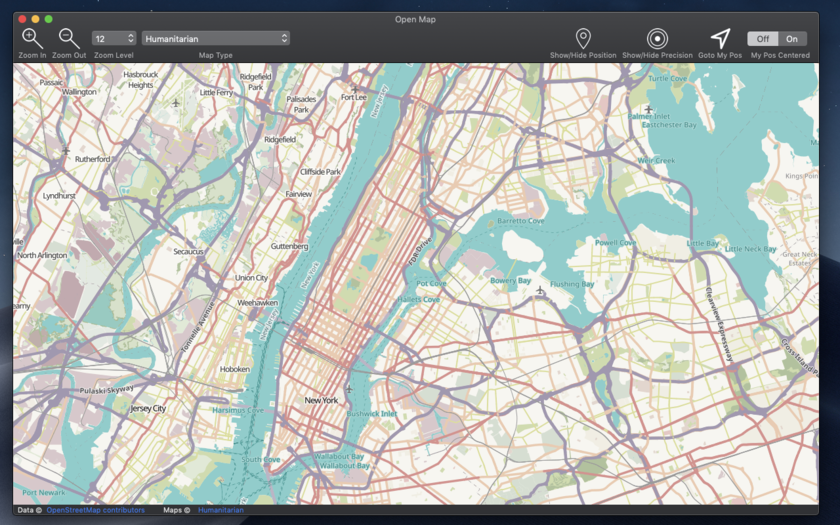
SOME OF THE 65 AVAILABLE MAPS
- Wikimedia
- Humanitarian
- Black & White
- OpenTopo
- Hike & Bike
- Hydda
- Toner
- Terrain
- Watercolor
- Positron
- Dark Matter
- Flat Blue
- Roads
- Hybrid
- Contour
- Grayscale
- Street
- Topo
- Imagery
- Shaded Relief
- LightGray
- NatGeo
- Delorme
- Ocean
- OpenCycle
- transport
- Landscape
- Pioner
- Atlas
- Outdoor
- Satellite
- Lyzidiamond
- Street Satellite
Want to know more about Open Map?
Read the full Open Map Online User Guide
For general questions about our product, visit our Ecleti Generic OS X FAQ.
You may also read what's new in each version by going to Open Map Releases.
Read the full Open Map Online User Guide
For general questions about our product, visit our Ecleti Generic OS X FAQ.
You may also read what's new in each version by going to Open Map Releases.
ALSO AVAILABLE FOR
We have also an iOS version for the iPhone and the iPad with similar features.
Look for Open-Map HERE
TRANSACTION DATA ARE NEVER SENT TO OUR SITE. THEY ARE TRANSMITTED ONLY TO THE RESELLER VIA A SECURE SSL PROTOCOL |
|||
![]() |
|
||
If you want to know more about how buying works, visit the Buy section of our site |