Open-Map
Open-Map brings on iOS many of the open standard maps.

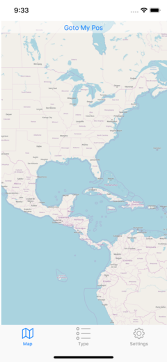
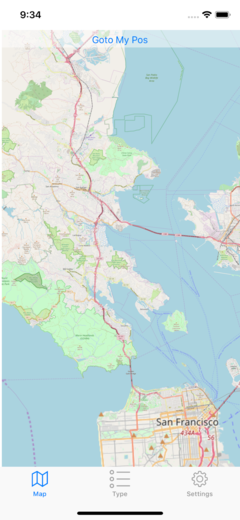
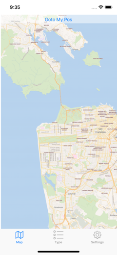
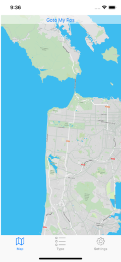
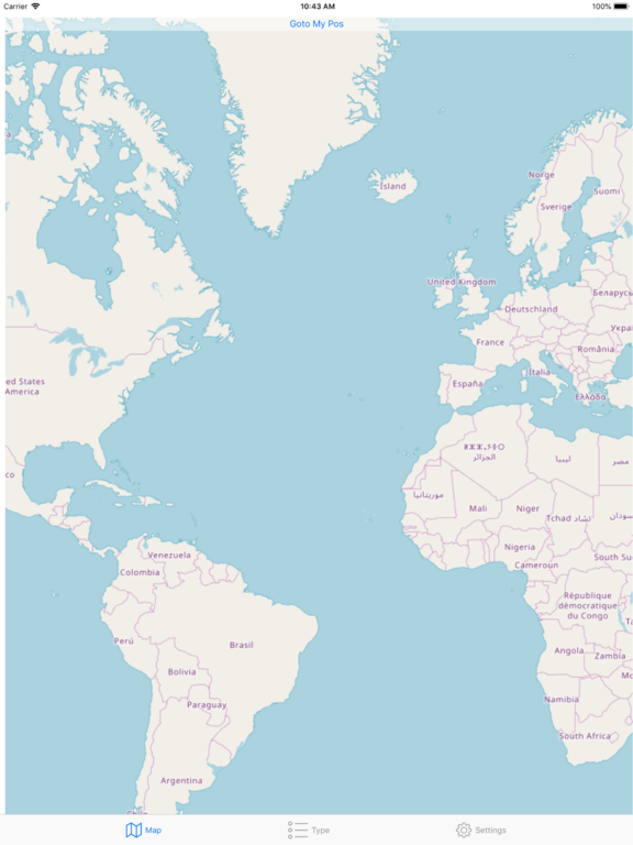
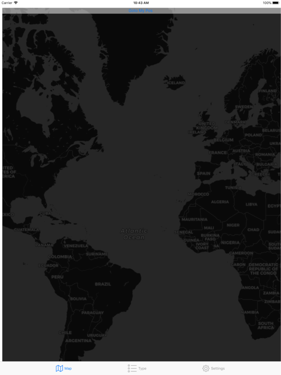
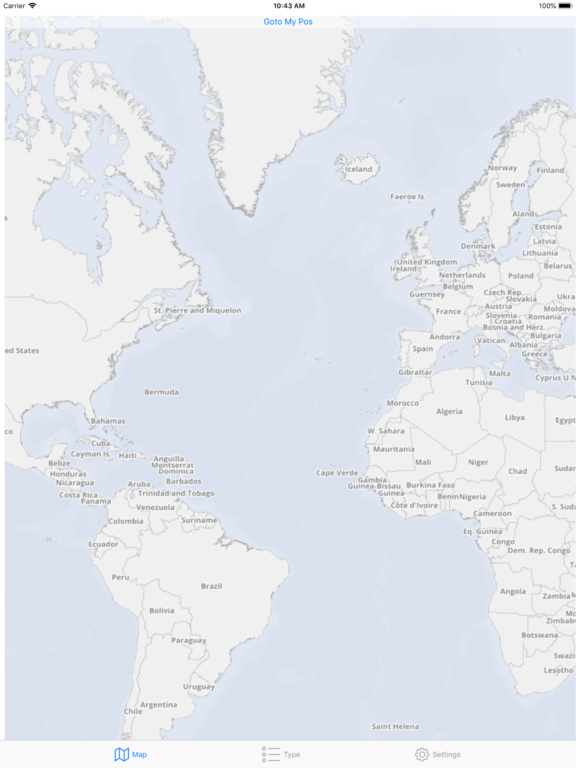
Open Map brings over 60 different types of maps on iOS with 29 zoom levels. All these maps of the world have different style and data, always up to date and available with 1 touch with a resolution level ranging from 0 to 28. They are completely interactive as the standard one but all different in many aspect. It is a must have for anyone with an interest in cartography and in world maps in general or just wanting to see maps in with many different representations.
Open-Map screenshots on iPhone - click image to zoom ![]() |
||||
![]() |
![]() |
![]() |
![]() |
![]() |
Open-Map screenshots on iPad - click image to zoom ![]() |
||||
![]() |
![]() |
![]() |
![]() |
![]() |
EASY TO USE
- No learning curve, you already know how to use it
- All works as you aspect as in the maps you already use
- Completely interactive
![]() |
Shows your position using geo location |
![]() |
Shows position precision circle around you calculated with geo-location | |
![]() |
Goto your position at any time in a click |
![]() |
Map of the entire world, fast and reliable | |
![]() |
28 levels of zoom |
![]() |
Over 60 map type | |
![]() |
We use only Apple native technology to create iOS apps because we love the Apple platform and and we love pure true iOS apps. |
FEATURES
- Over 60 maps all covering the full world
- More data then you may aspect
- Move and zoom-in zoom-out with your fingers as in the standard one
- Change map type in one touch at any time preserving position and zoom level
- Can keep your position centered
- Can show your position
- can show precision circle
- Instant switch between one map to the other keeping position and zoom level
- Instant 'Goto My Pos'
Want to know more details about Open-Map?
For general purpose questions about our product can be also useful to visit the Tension Software Generic FAQ section.
To know what's new from the previous releases visit the Open-Map Releases page.
For general purpose questions about our product can be also useful to visit the Tension Software Generic FAQ section.
To know what's new from the previous releases visit the Open-Map Releases page.
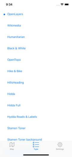
SOME OF THE AVAILABLE MAPS
- Wikimedia
- Humanitarian
- Black & White
- OpenTopo
- Hike & Bike
- Hydda
- Toner
- Terrain
- Watercolour
- Positron
- Dark Matter
- Flat Blue
- Roads
- Hybrid
- Contour
- Grayscale
- Street
- Topo
- Imagery
- Shaded Relief
- LightGray
- NatGeo
- Delorme
- Ocean
- OpenCycle
- Transport
- Landscape
- Pioner
- Atlas
- Outdoor
- Satellite
- Lyzidiamond
- Street Satellite
![]() |
|
||
If you want to know more about how buying works, visit the Buy section of our site |
FOR IPHONE AND IPAD
- Open-Map it's a joy to use on iPhone and on iPad
- Requires iOS 10 or successive
- Optimized for iOS 15
- Works both for iPhone and iPad
- Optimized for the latest generation iOS devices
AVAILABLE ALSO FOR MAC
All the features available on iOS plus full export capabilities in PDF, PNG,TIFF and JPEG.Look for Open Map for macOS HERE